Dashboards and Conceptual Knowledge Maps
Some types of information are best viewed from the perspective of spatial models. These can reflect geographical maps, conceptual maps or topographical maps. A map is an image with a variety of items mapped into its boundaries.
These can link to further maps or information lists and items. A few possible uses are given below:
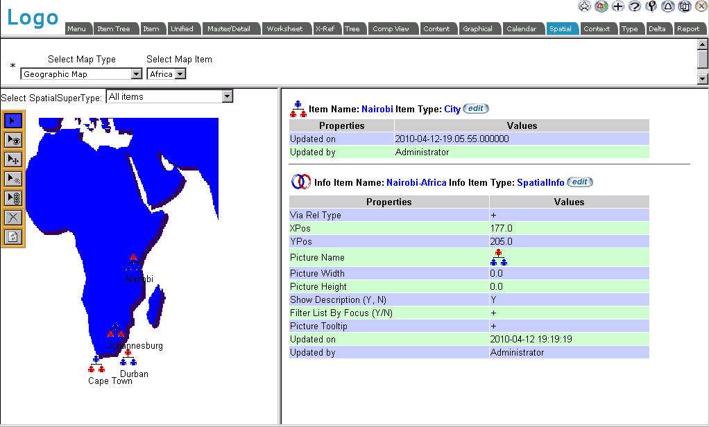
- Geographic maps with a world view, drilling down to a continent view, then a country view; possibly with cities mapped onto the surface at their latitude and longitude
- Architecture framework maps which will provide a graphical representation of the elements in a given architecture, with active icons which will list all elements in the knowledge base of the designated type. Levels of the
architecture can be nested.
- The administration dashboard for Release 1.5 (or later) of EVA Netmodeler, which provides a quick way to reach system settings, user details, filters etc.
Below is an example of a geographic map implemented in the EVA Netmodeler Spatial browser interface.
|